As you'll notice, this post has a date-stamp in 2014, and it is clearly November of 2015. I am trying to put up older trip reports so my Index of Hikes page is more complete with links to the hikes I've been on. So here is my first hike up to the high peaks region of Maine.
The morning began with some vibrant colors over the eastern sky from my house.
 |
| Sunrise colors to the east |
After some research, I determined that I was going to need to take our truck, since the end of the drive was along a rough gravel road with some washed out culverts. (I was driving a Miata at the time, and those.....well, they don't have much ground clearance.)
From Rt. 16, which passes through the town of Carrabassett Valley, I took a left on the Caribou Valley Road (CVR), which was the road of questionable condition. There were 3 or 4 culverts that were exposed on top, so a truck or SUV with 6-7" or more clearance would be required as of last year at least. The CVR is barricaded about 3.9 miles in, and you can park here and walk a ways down the road until you see the AT cross the road. It's pretty obvious. Heading left, you walk along the South Branch of the Carrabassett Stream, and soon there is a crossing. I had slightly higher waters than normal, though I heard from other hikers that in the days past, it was much higher, and the board you see crossing the farthest part of the stream was washed downstream a bit, despite being attached with a cable.

After the crossing, the trail makes haste in rising quickly up the western gully of the mountain. There are frequent places you can turn back and see the valley, also good places for water replenishing.
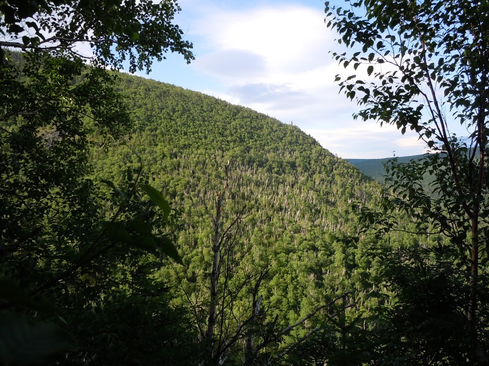
Until you get along the edge of the ravine, the trail is pretty hands-on, but well marked with white blazes, since this is a section of the AT.

 |
| Good job MATC for these lovely steps! |

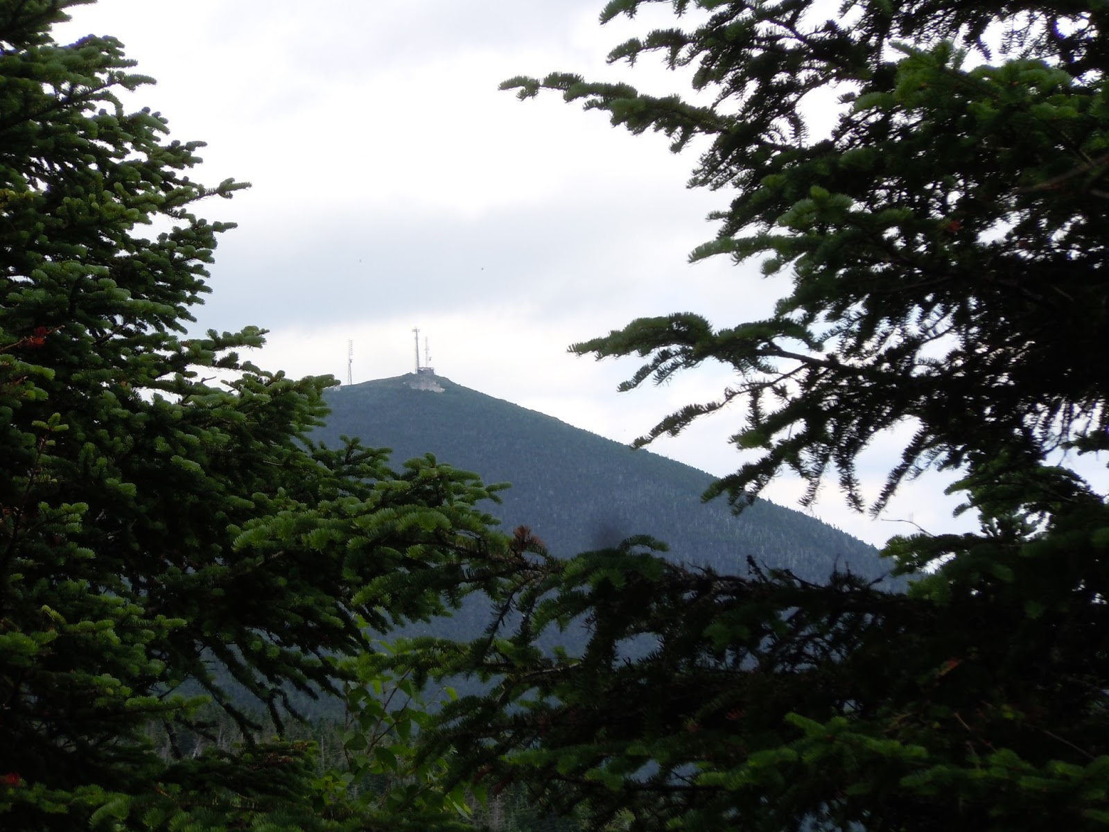
After 2.3 miles, you reach the junction for the spur trail up to Sugarloaf, which was my first stop. Soon into this 0.6 mile leg to the summit, I was amongst the krumholtz (German for twisted wood, if I remember correctly).
 |
| A view of Mt. Redington, and the Crockers (left to right) |
I munched down some chow up here, and just as I was about to pack up lunch, a lady working her way south along the AT appeared. She kindly took my picture. (Thank you Magellan!)
 |
| Sugarloaf Mountain, 4249' |
 |
| Mt. Abraham from between Sugarloaf and Spaulding |

There is a short but steep side trail up to the summit of Spaulding Mountain, which is not great as far as views go. But, hey, I made it, and the trail along the way was very nice.
 |
| Spaulding Mountain, 4009' |
 |
| A segment of the ridge walk between Sugarloaf and Spaulding |

Hike Details
Miles hiked: 11.0
Time elapsed: 6.5 hours
Total ascent: 3560'