With my buddy Eliot in town before celebrating Christmas with his family out west, we took advantage of a beautiful clear sky on Dec. 16 to try and access the highest drivable point in the state of Maine. This is not simple like it is in New Hampshire. There, you could just drive up Mt. Washington. In Maine, our highest point is Katahdin, which is not car accessible. Neither are any of the 4000 footers, so that leaves out the 14 mountains above that threshold. After scanning the Maine atlas for logging roads that seemed to at least get above 3000 feet, I think I may have stumbled across the highest "road" in the state.
This project was inspired by a youtube video made by The Fast Lane Car, linked
here if you're interested. They were high-pointing in various states, and they found a place in Maine that was 2400 feet or so, and I was convinced we could do better. With a Jeep at our disposal, we commenced the journey to western Maine, where many a mountain exist.
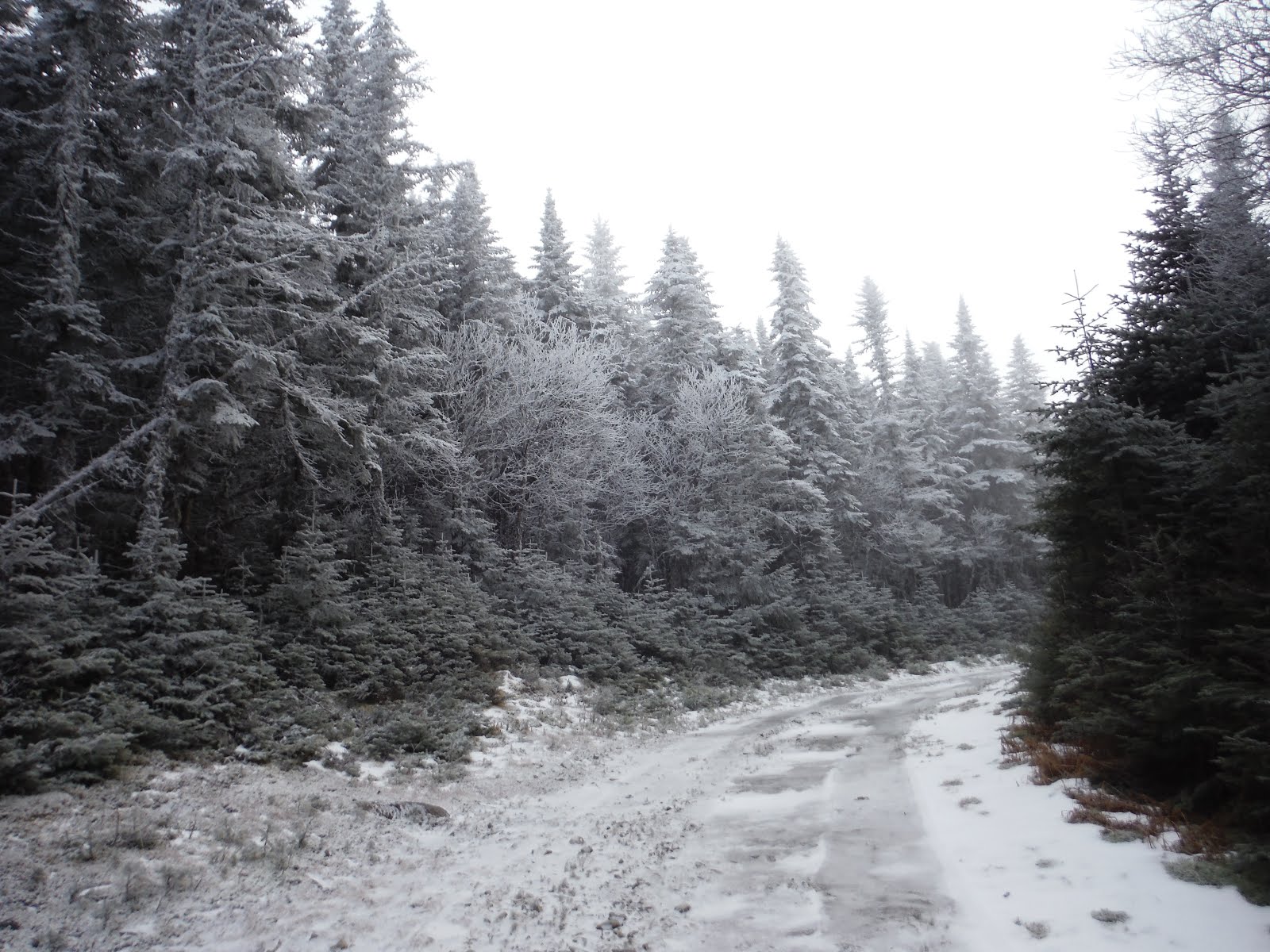
Somewhere near Embden, we missed a turn due to my not-so-prompt navigation skills. Several attempts at taking a less improved road back to pavement led to gates not marked on the atlas (community service is what we're doing essentially), a logging area that was several feet deep in trees, and a confusing network of logging roads with more gates. Nothing like getting out there right off the bat. Fun was had as we negotiated the different options and bumped along gravel and mud and ponds etc.
 |
Our "tree graveyard" that we ended up driving up...
and going back because the trail ended |
Deciding to focus on our goal at hand, we backtracked to the pavement and headed up to Stratton, where Rt. 16 would bring us to East Kennebago Mountain. It is the west peak of this mountain that had an alleged road up it without any gates. If successful, we would reach over 3600 feet, smashing the old record by over 1000 feet!
 |
| Mt. Abraham, ME |
The beginning of this road to East Kennebago West Peak was fairly benign, just a gravel road with occasional puddles. Two-wheel drive could negotiate this part with some good placement of the wheels. Even after a few miles, the views just under the increasingly overcast skies were very nice into the valley below.
 |
| The road to success? |
Five miles in, there is a distinct right turn into a grassy area, where we immediately encountered waterbars made presumably for drainage purposes. These got old quickly as everything bounced around in the rear of the Jeep. Diffs didn't need to be locked for any portion of this climb, though as we got higher, rime and ice started to appear around us. We encountered a tree fallen in the path, which of course needed to be removed for passage. Thanks to Eliot, we had a powerful winch on the Jeep and some pulleys to guide the tree off the trail for future off-roaders. Though I admit it took much too long for me to untie the knot that was looped around the tree.
 |
| The tree that was winched out of the trail |
Soon the ice became very slick and the road steepened. The ice on puddles did not break as we passed, and the temperature hovered around 29°F as we entered the 3000 foot range. Already, we had surpassed the record of TFLCar.
At 6.25 miles, there is a bear right to a slightly steeper climb that is cut into the hill and circles upward to the summit. The in-dash nav system was of no use at this point, aside from telling us elevation. A handheld GPS with trails and roads was more useful, giving us a hint of road to follow.
 |
| Looks like the Black Forest of Germany |
After 8.1 miles, we reached the top of the hill, with no broken parts on the Jeep, and plenty of good spirits. The views would have likely been great to the southeast, as a sharp drop-off was visible, though shrouded in clouds currently. There was a memorial on the summit of a snowmobiler who had died a few years ago, as well as a small building of unknown use with a short tower nearby. Our elevation at the summit was measured by the Jeep to be 3664', and 3654' by the handheld. The elevation gain from Rt. 16 was 2330', in just over 8.1 miles.
 |
| Summit of East Kennebago West, 3650' |
After some lunch munching, we headed back down, where we encountered ice, and the ineffectiveness of the brakes was shown all too clearly here. No animals were harmed during out descent, so all was good. The descent was uneventful, though once we hit gravel, speeds of 25mph felt blisteringly fast after a period of crawling around at 7mph.
 |
| Elevation Profile of East Kennebago West |
The next stop was to visit what's marked as a B-17 Memorial in the Maine atlas. This was out in Lower Cupsuptic Twp., just one town west of Rangeley. The memorial is between Cupsuptic and Aziscohos Lakes on Deer Mtn. Road according to Google Earth. Down these roads, there were many logging trucks, and a slight dusting of snow on the ground, which made things pretty in the dwindling light of evening. I will break it to you: the memorial is a small display of a shirt, a few small plane bits, and a story handwritten on a piece of paper near the road. We took a short walk through the woods in hopes of finding more plane bits, but there were none that we could see. Mostly a disappointment, though I fully enjoyed exploring all the roads out in this area. It shows that you could spend months out here and not drive all the roads.
 |
| Overview Map: Pink=offroading, Red=hiking |
Next, I convinced Eliot into taking a short night hike up Bald Mountain in Rangeley on our way back home. It is a short hike, just 2.5 miles, but with a tower on the summit! This is exciting for both of us, so with some snacks in our packs, we set off under the setting crescent moon. It was a beautiful night that I seem incapable of capturing with my camera. Oh well...I hope you believe my story.
The climb got progressively steeper and icier. I had brought along my micro-spikes in the event of such ice, though I thought I would need it much more on the way down. In about 45 minutes, we reached the summit, which came upon us suddenly since our headlamps were the only light source. It was a slightly rickety staircase up to the top, though the structure seemed intact. Boy, it was cold and windy on top, but the reflection of the moon on the surrounding lakes made a tower climb very much worth it for both of us.
 |
| Summit of Bald Mtn., 2443' |
I came down to ground level to have a sandwich. (There is a website called
alpinesandwiches.com which is, as you might guess, devoted to pictures of sandwiches in alpine environments.) Due to cold hands, I did not whip out my camera for the instance.
 |
| Elevation Profile of Bald Mtn. |
Hike Details
Miles hiked: 2.5
Time elapsed: 2.1hr
Total ascent: 910'
The drive home presented a challenge, as we were faced with a several hour road block as a car was being extracted from a gorge near Madrid, ME. It was decided that pavement was not required. Crosstown Road in Rangeley led us to Rt. 17, which was the nearest available route back east. Out on this "road" we found ourselves once again in the back woods of Maine (a glorious place to be, of course). Several miles in, we found a bunch of logging equipment, and most interestingly, an old 6x6 fuel truck that looked like it was from Russia many decades ago. We could both fit in a wheel arch with no issue. But then the skidders....with wheels as high as I am, and a claw that could, well, pick up a large tree, I was thoroughly impressed. It was strange to come upon a scene like this at night, when it appeared out of no where as we rounded the bend.
We found the pavement of Rt. 17, and successfully made it to our homes that night, though it was into the morning hours by the time that happened. The day was conquered, with most likely the highest drivable road in Maine driven, and a tower hike in Rangeley under our belts.


No comments:
Post a Comment