Pine Creek Waterfall
Day 52
6.4.15
Nothing like a morning from high in the mountains on a ski slope. I was getting baked in my tent from the sun, so this basically meant it was time to get up.
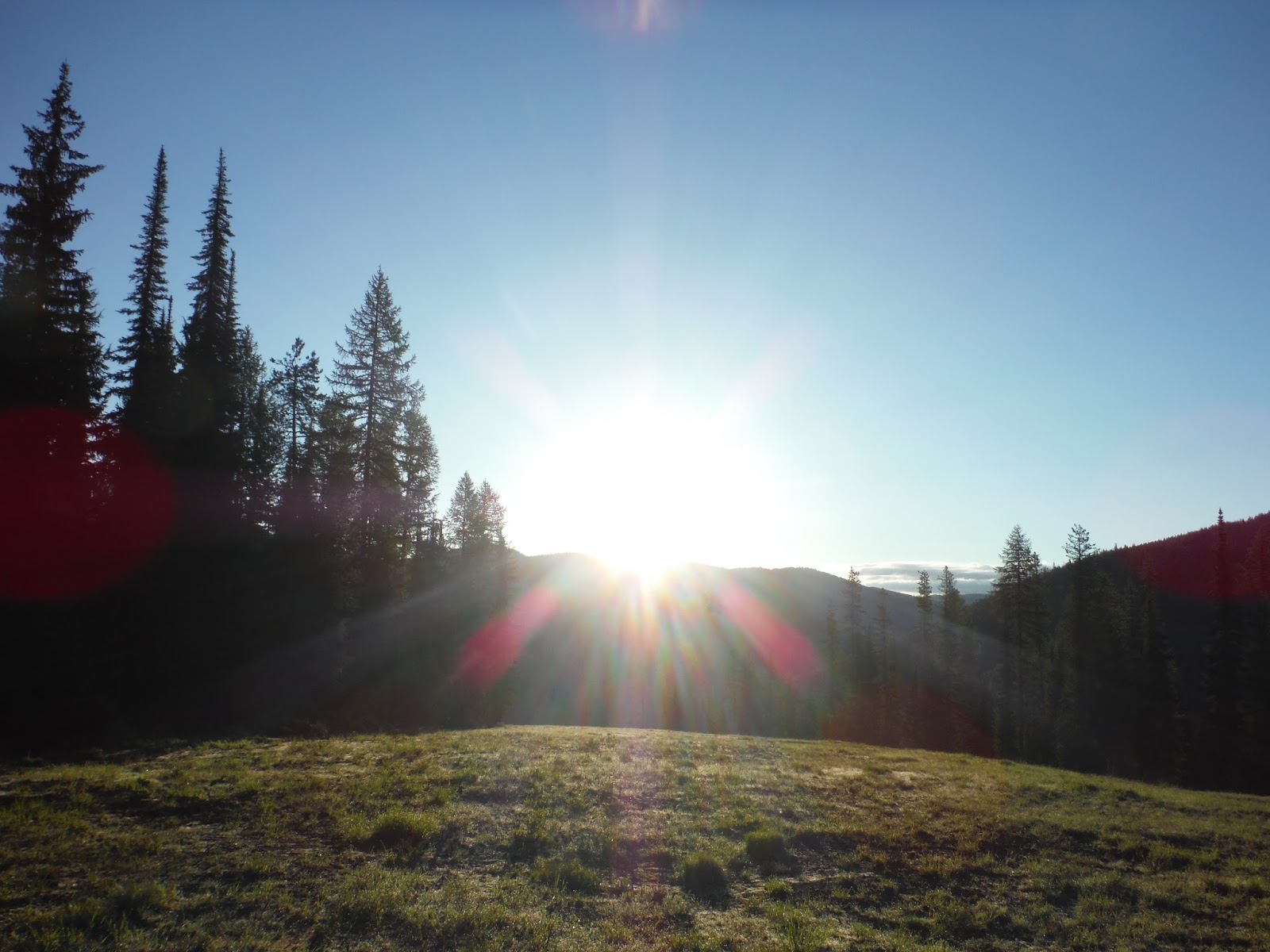 |
| Good morning Idaho/Montana |
 |
| Descending from Lookout Pass |

I also saw more variations of the Montana license plates than I ever thought existed. I would say we saw upwards of 15 different plates for the state. Bear themed, Yellowstone themed, big sky themed, land conservation themed, and countless others I can't recall anymore.
Montana is the land of many long mountain passes. The road climbs slowly for a long time, and then once at the top, you can gaze down over the next valley. It was a very pretty place to drive through, especially with a sky dotted with puffy clouds.


Livingston Montana proved to be the best place in the area. Why? John Deere. There isn't much I like more than a stroll through a tractor dealership.

Aside from the tractors, the town was in a spectacular location, with hiking opportunities very close by, not to mention Yellowstone NP only 50 miles away to the south. Like any good trail crew buddies, we met up and promptly went to go on an impromptu hike to Pine Creek, a few miles to the south.
Here is proof that I went hiking with them:
 |
| On our way up to the waterfall! |
We caught this waterfall around the peak runoff season, and it was roaring for sure, especially considering it's not that large of a channel for water.
 |
| From the first crossing (on a primitive bridge) |
We made it to the top and were able to see it rip over the edge. I also managed to get Emma in a picture for once. Hah! As per usual, she's running out of the shot.

The way this creek carved its way through the rocks made for a nice shot that (hopefully) shows the depth perception well.

I would have loved to do a longer hike in Montana, however we had time constraints since we started pretty late in the afternoon. Look at any topo map of the area and you'll see that there are endless options for hiking in western Montana. I found myself flipping through a hiking guidebook for the area that Dylan had, wishing I had another week in the area, of not more. However, both Emma and I were interested in seeing Yellowstone NP the next day, so we planned on that, and slept in a HOUSE for the first time in awhile. It was a luxury to have a fully functional kitchen, walls and a roof to borrow for the night. (As fun as car camping can be.)
It was here that I began to realize how huge Montana really is. We had driven 383 miles, and not even gotten halfway across the state. It's proof that you could spend years here and still not have explored all of the area around you.
 |
| Day 52: 383 miles |
Miles logged to date: 10,501 + 383 = 10,884. It never ends!
No comments:
Post a Comment