I'm a sucker for the "Unique Natural Features" in Delorme's Maine atlas, and there's a few of these places scattered up around Borestone, one of which is Little Wilson Falls Gorge. It is right along the AT, and it has a mile-long access trail that is marked on some maps, but not on Delorme's atlas. From the bridge over Big Wilson Falls, there is a bumpy road called Campground Rd. that goes up to the northwest roughly one mile. There is a beautiful picnic area at the end of the road, with a few short drops in the Wilson Stream that make for a pleasant place to stop by for lunch if one were so inclined.
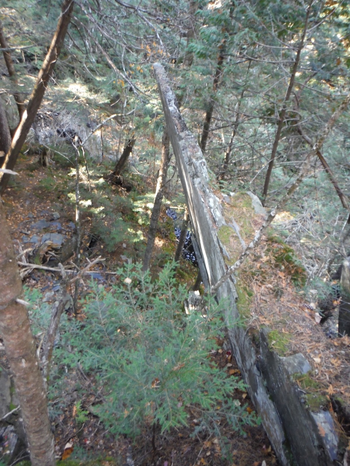
Instead, I followed the path upstream marked with blue flags (and later pink and orange ones). This is a gentle walk through the forest, with the stream audible to the right for nearly the whole way. After joining up with the AT, I came across the most odd piece of rock I've ever seen. It was a slab about four inches thick and probably a good 12 feet tall, jutting out of the ravine almost vertically.
 |
| Slab from the left |

I walked around past it a little to get a better side view of it. How it's still in place in such an obscure position is a mystery, but I thought this was a super cool surprise to see along the trail.

A few hundred yards after the strange rock, you can start to hear the falls. You approach from the top, so it's not apparently quite how large of a waterfall this is at first glance.

I peered down into the gorge, and I swear it's a scene straight out of Minecraft. All the rock is shale around here, and it's comprised of layers that have broken off in square chunks almost exclusively. This made for an easy walk down into the depths of the gorge. Just watch out for the wet spots, because falling in here would mean certain death!
 |
| Down into the gorge |

After debating for far too long which way to orient the panorama, I present a horizontal one of the falls from top to bottom. The atlas says the falls are about 40 feet tall, and that seems about right to me. Not a terribly large stream, but it makes a roar as it plummets down this drop.

This really wasn't too much of a hike, but I'll include the data for your entertainment anyway.
 |
| Google Earth track and elevation profile |
Hike Data
Miles hiked: 2.5
Time elapsed: 1.3 hours
Total ascent: 530'
That rock is a mystery. Love the photos of the gorge as well.
ReplyDelete