Day 42
5.25.15
I am going to throw a curveball at all of you that are following this blog. I am SKIPPING a few posts so I can write down today's happenings before I forget it all. So for all intents and purposes, I somehow made it to Idaho, and I by chance I went by the trailhead for the tallest mountain in the state yesterday. I had arrived at 12 noon, and I thought that that was not a great time to start a hike that is expected to take 10-12 hours to complete. There is camping at the trailhead, so I went into town that afternoon, and got some food to prep for the big hike the next morning (today).
The weather was forecast to be mostly sunny today, so that was further convincing to hike today. Now for some background on the mountain. It is 12,667 feet, which is ever so slightly higher than Humphrey's Peak in AZ, my current record for highest hiked-to elevation. The catch with this, is that the trail gains something like 5100 feet over 3.5 miles. That is pretty steep by hiking standards, and I believe is is considered a Class 3 trail, at least for portions of it.
 |
| Making sure everything is in the pack |
The day began at 4am, and it was then I began to realize just how nuts this idea was. I wanted to get up earlier than later to avoid the potential rain/snow/thunder. I was able to get breakfast and pack up camp in just over an hour, and I went through my list of things that I needed - fleece fleece, rainjacket, rain pants, gaiters, snowshoes, axe, crampons, hat, mittens, liners, sunglasses, lunch, snacks, water, handwarmers... compass. I was a bit up the trail by then, and I had to go back and get the compass.
They give you lots of stuff to think over as you begin your hike. Unusual for this area of the world, they give some sort of map for you to follow. Expected ascent time is 6-7 hours, bring all the water you can carry, you should in good physical shape. I was ready for anything (more or less)


It was still mostly dark, with a bit of lighter sky from the far side of the mountain. Headlamp was necessary.

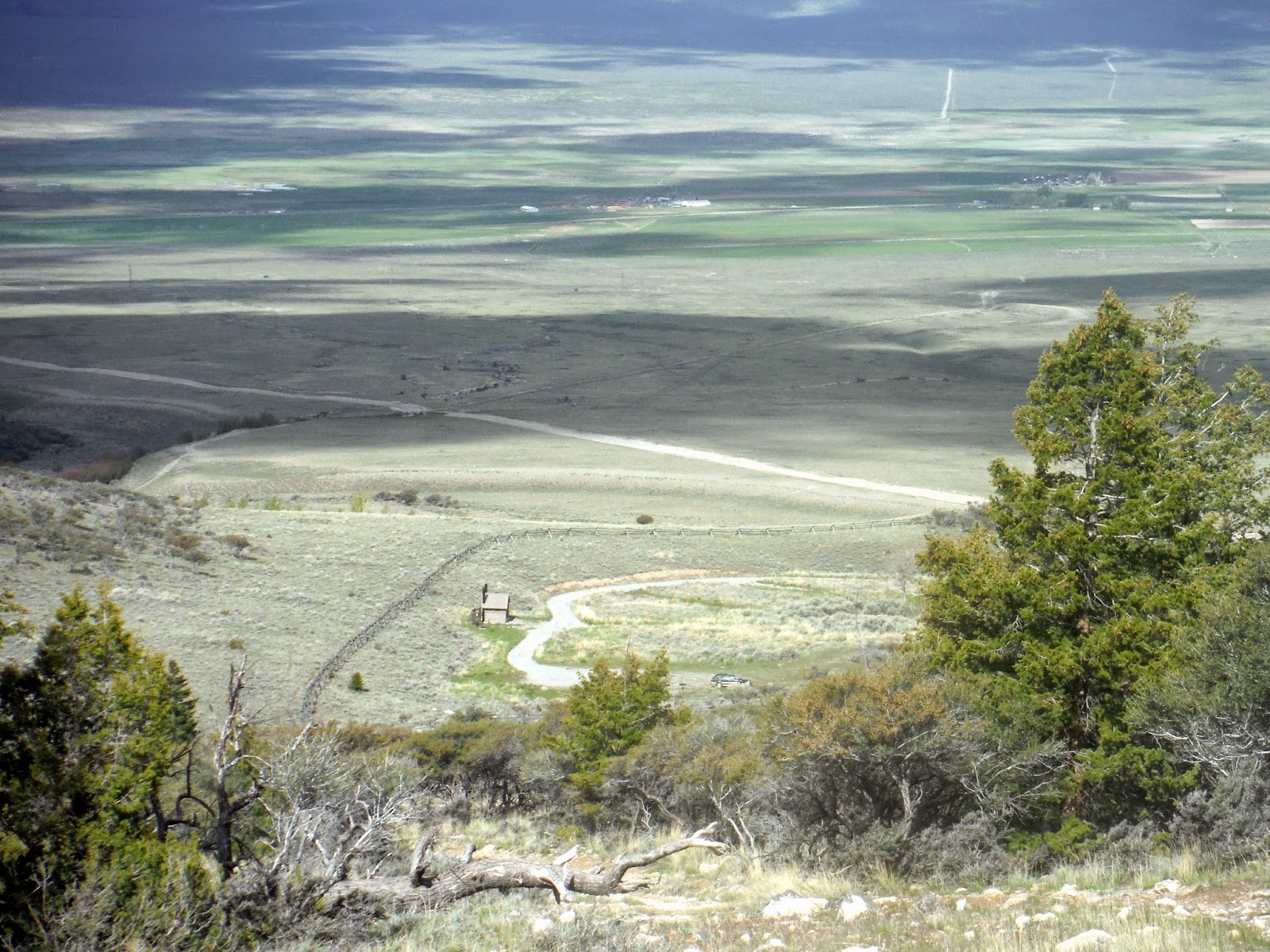
The trail did not dawdle with elevation gain. Soon I was far (it seemed) above the valley in a matter of minutes. The sky got lighter, revealing all the snowy peaks that surrounded me.

Across the valley in the Salmon-Challis National Forest, there were many more snowy peaks. The sun was peaking over Borah Peak just enough to light those up pink. I also began to notice the clouds coming in...a typical event with I am hiking.


After a trail that resembled the Hunt Trail on Katahdin, I got to a ridge line which I followed for awhile. The ascent was still just as steep as before, if not more. Finally, I got a view of the peak I was conquering.
 |
| Borah Peak to the left. |

The southwest ridge that I was following started to get snowy, though only on the inside of the valley, leaving cornices to avoid at all costs. (They can collapse and send you flying into the ravine. Thankfully the edge of the solid rock was visible here.)

I was still in good spirits at this point, maybe 2 miles in? (It's hard to tell distances) There was a bit of a more level grade here, and after testing the snow conditions, I realized I could leave the snowshoes along the trail since it was hard packed and spikes would suffice to give me traction.

After a bit of axe-work, I was making it further up the slope. You can see the ridge on the right of the photo, which is where I came up.

I was approaching the area called Chickenout Ridge, which as you can guess, is where some people will chicken out. It was a bit nerve-wracking knowing that I could fall thousands of feet off either side if every step wasn't perfect. Time to slow down, use the axe for balance, and watch every step carefully.

Here is an attempt to show you the slopes on the sides of the ridge. The mountains have no mercy. It was also cloudy by now. There was enough fresh snow that it was getting into my shoes a bit, so out came the gaiters. I was worried about my pack falling over the edge, so I bungeed it to myself while applying the gaiters.

Now, in the clouds, I was following the steps of previous mountaineers who had been up recently, and I think I made it to the top, since the footsteps ended, and all ground was going down around me. There is a slight chance that this was a false peak, but I don't believe so, based on my memory of how far up I had hiked. Everything gets a bit fuzzy when you are up in higher elevation. The only thing that sounds appealing is a nap.
 |
| What I believe to be Borah Peak. |

I was concerned about coming down across Chickenout Ridge, since it was not much wider than two foot-widths across in many place, but the axe made things go really smoothly. Super happy to have one now. It makes climbs like this WAY less terrifying, and also easier because your climbing effort while ascending is spread out on three limbs instead of two.
 |
| A slot along the ridge where you climb down. |
 |
| Clouds getting a bit thinner |

Here is a better view of one of the cornices. That's why if you see a snow-covered ridge with one of these, you stay a fair bit back form the edge. You don't want that collapsing beneath you.

 |
| I think the summit is up there somewhere... |
 |
| Life thrives even in harsh conditions. |
After 4 hours 41 minutes, I made it back to the trailhead, and I didn't even need to use sunscreen! I just saw the sun poking through the clouds when I was nearing the base, but it was not bright enough to do much damage.
 |
| Success! 12667' under my belt. |

If you want to look at more information on the mountain and the many ways that people climb it, you should check out what summitpost has to say about it. I found it a good resource for figuring out exactly I was signing myself up for. It has the trail overlaid on a topo map, which is my favorite!
Wow. Great write-up of a great adventure. I like the part where you slowed down...traveling alone in the mountains requires intense concentration!
ReplyDelete